
Oropeza topographic map
Interactive map
Click on the map to display elevation.
About this map
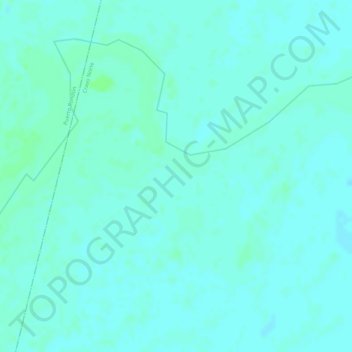
Name: Oropeza topographic map, elevation, terrain.
Location: Oropeza, Cravo Norte, Arauca, Colombia (6.36315 -70.68284 6.38315 -70.66284)
Average elevation: 387 ft
Minimum elevation: 377 ft
Maximum elevation: 400 ft
Other topographic maps
Click on a map to view its topography, its elevation and its terrain.