
Kunda topographic map
Click on the map to display elevation.
About this map
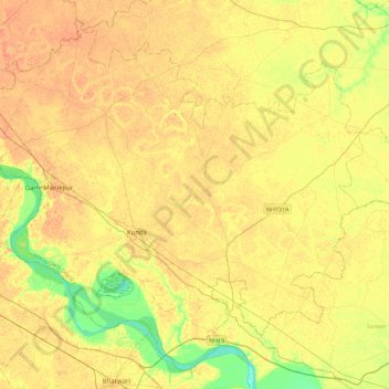
Name: Kunda topographic map, elevation, terrain.
Location: Kunda, Pratapgarh District, Uttar Pradesh, India (25.57238 81.32497 25.93965 81.77562)
Average elevation: 335 ft
Minimum elevation: 262 ft
Maximum elevation: 377 ft