Geolocate

Clarkston topographic map

Click on the map to display elevation.

About this map

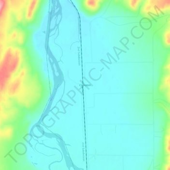
Name: Clarkston topographic map, elevation, terrain.

Location: Clarkston, Gallatin County, Montana, United States (46.00993 -111.43358 46.04993 -111.39358)

Average elevation: 4,055 ft

Minimum elevation: 3,963 ft

Maximum elevation: 4,370 ft

Gallatin County trails, hiking, mountain biking, running and outdoor activities

Other topographic maps

Click on a map to view its topography, its elevation and its terrain.

Gallatin River

United States > Montana > Gallatin County

Average elevation: 4,951 ft

Belgrade

United States > Montana > Gallatin County

Average elevation: 4,446 ft

Four Corners

United States > Montana > Gallatin County

Average elevation: 4,820 ft

Gear up for your next adventure:

🪶Multi‑Purpose Knife - Useful blade for camp and trail
💧Water Purification System - Clean water on the trail with reliable purifiers
🪶Camp Gear Gift Set - Perfect gift bundle for outdoor fans
🌄Hiking Binoculars - Compact binoculars for scenic views and trail spotting
🧦Hiking Socks - Comfortable socks to prevent blisters on long hikes

As an Amazon Associate, this site earns from qualifying purchases at no extra cost to you.