Geolocate

Uno topographic map

Click on the map to display elevation.

About this map

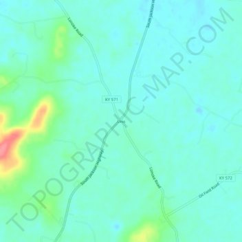
Name: Uno topographic map, elevation, terrain.

Location: Uno, Hart County, Kentucky, United States (37.16922 -85.84442 37.20922 -85.80442)

Average elevation: 659 ft

Minimum elevation: 607 ft

Maximum elevation: 876 ft

Hart County trails, hiking, mountain biking, running and outdoor activities

Other topographic maps

Click on a map to view its topography, its elevation and its terrain.

Munfordville

United States > Kentucky > Hart County

Average elevation: 627 ft

Horse Cave

United States > Kentucky > Hart County

Average elevation: 679 ft

Bonnieville

United States > Kentucky > Hart County

Average elevation: 696 ft

Gear up for your next adventure:

🧯Emergency Survival Kit - All‑in‑one survival essentials for the backcountry
🗺️NatGeo Topo Maps - High-quality waterproof printed topographic maps of US Parks
🧭Pro Hiking Compasses - High-accuracy liquid-filled compasses for topographic orientation
🧴Hand Sanitizer - Keep hands clean while hiking
🥾Women's Hiking Boots - Top-rated trail boots with ankle support and superior grip

As an Amazon Associate, this site earns from qualifying purchases at no extra cost to you.