Geolocate

Manyberries topographic map

Click on the map to display elevation.

About this map

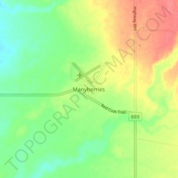
Name: Manyberries topographic map, elevation, terrain.

Location: Manyberries, Division No. 1, Alberta, Canada (49.38070 -110.71463 49.42070 -110.67463)

Average elevation: 3,045 ft

Minimum elevation: 2,956 ft

Maximum elevation: 3,153 ft

Gear up for your next adventure:

🪶Compact Camp Shovel - Folding shovel for campsite tasks
🧢Outdoor Hiking Hat - Sun protection hat for outdoor explorers
🥩Freeze-Dried Meals - Nutritious and lightweight food for remote expeditions
📡Handheld GPS Device - Reliable handheld GPS for outdoor navigation
🌡️Handheld Weather Meters - Measure wind, temp, and pressure for safe mountain travel

As an Amazon Associate, this site earns from qualifying purchases at no extra cost to you.