
Muna topographic map
Interactive map
Click on the map to display elevation.
About this map
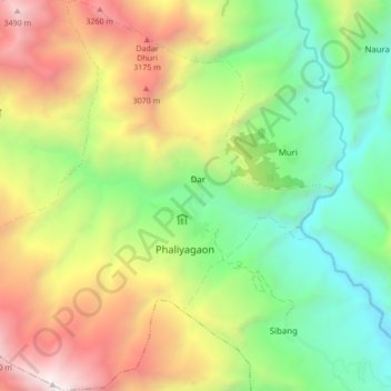
Name: Muna topographic map, elevation, terrain.
Location: Muna, Myagdi, Dhaulagiri, Western Development Region, Nepal (28.47002 83.27182 28.54502 83.35518)
Average elevation: 7,316 ft
Minimum elevation: 4,019 ft
Maximum elevation: 12,185 ft