
Make a donation
Gear up for your next adventure:
As an Amazon Associate, this site earns from qualifying purchases at no extra cost to you.
Lubolz topographic map
Click on the map to display elevation.
Make a donation
Gear up for your next adventure:
As an Amazon Associate, this site earns from qualifying purchases at no extra cost to you.
About this map
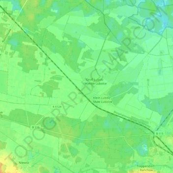
Name: Lubolz topographic map, elevation, terrain.
Average elevation: 174 ft
Minimum elevation: 135 ft
Maximum elevation: 230 ft
Make a donation
Gear up for your next adventure:
As an Amazon Associate, this site earns from qualifying purchases at no extra cost to you.
Other topographic maps
Click on a map to view its topography, its elevation and its terrain.
Schloß Neuhaus
Deutschland > Brandenburg > Dahme-Spreewald > Lübben (Spreewald) > Steinkirchen
Das Bauwerk wurde 1801 als eingeschossiger verputzter Bau im Biedermeierstil an der Stelle eines Vorgängergebäudes errichtet und steht auf einem hohen Sockelgeschoss. Die Fassade gliedert sich in einen Mittelrisalit und Seitenrisalite. Zur Gartenseite besteht ein Portikus, zur Hofseite gibt es einen Balkon…
Average elevation: 177 ft