
Thank you for supporting this site ❤️
Make a donation
Make a donation
Gear up for your next adventure:
As an Amazon Associate, this site earns from qualifying purchases at no extra cost to you.
Mukayras topographic map
Click on the map to display elevation.
Thank you for supporting this site ❤️
Make a donation
Make a donation
Gear up for your next adventure:
As an Amazon Associate, this site earns from qualifying purchases at no extra cost to you.
About this map
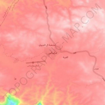
Name: Mukayras topographic map, elevation, terrain.
Location: Mukayras, Mukayras District, Al Bayda' Governorate, Yemen (13.90407 45.63071 13.98407 45.71071)
Average elevation: 7,139 ft
Minimum elevation: 5,141 ft
Maximum elevation: 7,687 ft
Thank you for supporting this site ❤️
Make a donation
Make a donation
Gear up for your next adventure:
As an Amazon Associate, this site earns from qualifying purchases at no extra cost to you.