Geolocate

Riley topographic map

Click on the map to display elevation.

About this map

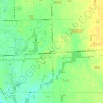
Name: Riley topographic map, elevation, terrain.

Location: Riley, Greenfield, Hancock County, Indiana, United States (39.76767 -85.74745 39.80767 -85.70745)

Average elevation: 902 ft

Minimum elevation: 863 ft

Maximum elevation: 935 ft

Hancock County trails, hiking, mountain biking, running and outdoor activities

Gear up for your next adventure:

🪶Wildlife Field Guides - Learn animal tracking and species ID
🧦Hiking Socks - Comfortable socks to prevent blisters on long hikes
🔭Telescopic Hiking Pole - Adjustable pole for hiking stability
🎒Day Hiking Backpack - Lightweight backpack perfect for day trips and outdoor adventures
GPS Sports Watch - GPS watch for running, hiking and training

As an Amazon Associate, this site earns from qualifying purchases at no extra cost to you.