
Filfla topographic map
Click on the map to display elevation.
About this map
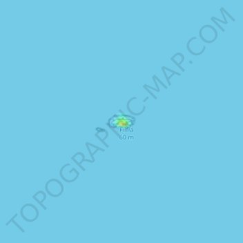
Name: Filfla topographic map, elevation, terrain.
Location: Filfla, Żurrieq, Southern Region, Malta (35.78663 14.40806 35.78810 14.41173)
Average elevation: 0 ft
Minimum elevation: 0 ft
Maximum elevation: 62 ft