
Make a donation
Gear up for your next adventure:
As an Amazon Associate, this site earns from qualifying purchases at no extra cost to you.
Somali Peninsula topographic map
Click on the map to display elevation.
Make a donation
Gear up for your next adventure:
As an Amazon Associate, this site earns from qualifying purchases at no extra cost to you.
Somali Peninsula
In Somalia and Somaliland, there is not much seasonal variation in climate. Hot conditions prevail year-round along with periodic monsoon winds and irregular rainfall. Mean daily maximum temperatures range from 28 to 43 °C (82 to 109 °F), except at higher elevations along the eastern seaboard, where the effects of a cold offshore current can be felt. Somalia has only two permanent rivers, the Jubba and the Shabele, both of which begin in the Ethiopian Highlands.
Make a donation
Gear up for your next adventure:
As an Amazon Associate, this site earns from qualifying purchases at no extra cost to you.
About this map
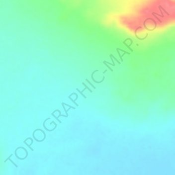
Name: Somali Peninsula topographic map, elevation, terrain.
Location: Somali Peninsula, Qardho District, Bari, Puntland, Somalia (9.83328 49.16662 9.83338 49.16672)
Average elevation: 2,756 ft
Minimum elevation: 2,697 ft
Maximum elevation: 2,933 ft
Make a donation
Gear up for your next adventure:
As an Amazon Associate, this site earns from qualifying purchases at no extra cost to you.