
Thank you for supporting this site ❤️
Make a donation
Make a donation
Gear up for your next adventure:
As an Amazon Associate, this site earns from qualifying purchases at no extra cost to you.
Erenyaka topographic map
Click on the map to display elevation.
Thank you for supporting this site ❤️
Make a donation
Make a donation
Gear up for your next adventure:
As an Amazon Associate, this site earns from qualifying purchases at no extra cost to you.
About this map
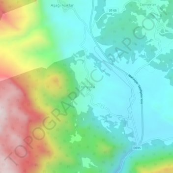
Name: Erenyaka topographic map, elevation, terrain.
Location: Erenyaka, Akseki, Antalya, Mediterranean Region, Turkey (36.90925 31.72974 36.94925 31.76974)
Average elevation: 2,756 ft
Minimum elevation: 1,929 ft
Maximum elevation: 4,656 ft
Thank you for supporting this site ❤️
Make a donation
Make a donation
Gear up for your next adventure:
As an Amazon Associate, this site earns from qualifying purchases at no extra cost to you.