
Parque Nacional Alto Purús topographic map
Interactive map
Click on the map to display elevation.
About this map
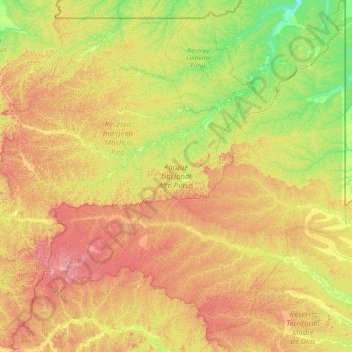
Name: Parque Nacional Alto Purús topographic map, elevation, terrain.
Location: Parque Nacional Alto Purús, Perú (-11.67322 -72.49761 -9.99995 -70.59911)
Average elevation: 1,273 ft
Minimum elevation: 735 ft
Maximum elevation: 2,260 ft
Other topographic maps
Click on a map to view its topography, its elevation and its terrain.