Geolocate

Sam Augustin topographic map

Click on the map to display elevation.

About this map

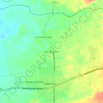
Name: Sam Augustin topographic map, elevation, terrain.

Location: Sam Augustin, Valencia, Los Ríos, Ecuador (-0.95877 -79.37163 -0.91877 -79.33163)

Average elevation: 338 ft

Minimum elevation: 272 ft

Maximum elevation: 427 ft

Gear up for your next adventure:

GPS Sports Watch - GPS watch for running, hiking and training
⛑️Personal Locator Beacon - Safety beacon for emergencies
📻Weather Alert Radios - Stay informed of storm risks while off-the-grid
🏔️Mountain Trail Maps - High‑detail maps for popular peaks
🚪Portable Camp Chair - Foldable chair for comfort at camp

As an Amazon Associate, this site earns from qualifying purchases at no extra cost to you.