Geolocate

Taberna topographic map

Click on the map to display elevation.

About this map

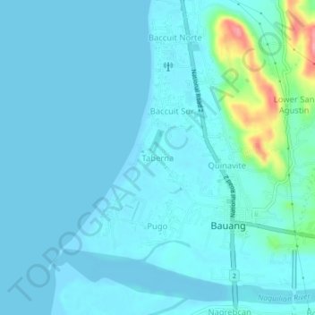
Name: Taberna topographic map, elevation, terrain.

Location: Taberna, Bauang, La Union, 2501, Philippines (16.51518 120.29994 16.55518 120.33994)

Average elevation: 39 ft

Minimum elevation: -7 ft

Maximum elevation: 338 ft

Gear up for your next adventure:

🧭Compass with Lanyard - Easy‑carry compass for navigation
🎒Outdoor Daypacks - Lightweight backpacks designed for carrying maps and essential gear
🔦LED Headlamp - Bright and durable LED headlamp for night navigation
🗻Climbing Gear Basics - Essential gear for beginner climbers
📖Nature Tracking Books - Learn to track wildlife and terrain

As an Amazon Associate, this site earns from qualifying purchases at no extra cost to you.