
Keizer topographic map
Click on the map to display elevation.
About this map
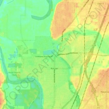
Name: Keizer topographic map, elevation, terrain.
Location: Keizer, Marion County, Oregon, 97303, United States (44.97296 -123.05712 45.03722 -122.99103)
Average elevation: 144 ft
Minimum elevation: 82 ft
Maximum elevation: 207 ft
Marion County trails, hiking, mountain biking, running and outdoor activities
Other topographic maps
Click on a map to view its topography, its elevation and its terrain.