
Kings County topographic map
Interactive map
Click on the map to display elevation.
About this map
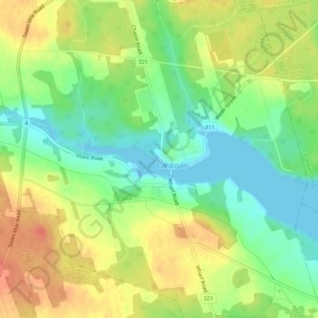
Name: Kings County topographic map, elevation, terrain.
Location: Cardigan, Kings County, Prince Edward Island, Canada (46.22194 -62.64637 46.24505 -62.59812)
Average elevation: 82 ft
Minimum elevation: -3 ft
Maximum elevation: 174 ft
Other topographic maps
Click on a map to view its topography, its elevation and its terrain.
Dunedin
Canada > Prince Edward Island > Rural Municipality of Clyde River > Clyde River
Average elevation: 72 ft