
Akita topographic map
Interactive map
Click on the map to display elevation.
About this map
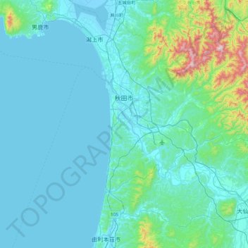
Name: Akita topographic map, elevation, terrain.
Location: Akita, Akita Prefecture, Tohoku, Japan (39.44889 139.75704 39.86503 140.51560)
Average elevation: 351 ft
Minimum elevation: -16 ft
Maximum elevation: 3,776 ft