
Belleville topographic map
Interactive map
Click on the map to display elevation.
About this map
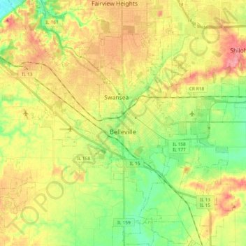
Name: Belleville topographic map, elevation, terrain.
Location: Belleville, Saint Clair County, Illinois, United States (38.44661 -90.08687 38.59082 -89.90517)
Average elevation: 535 ft
Minimum elevation: 407 ft
Maximum elevation: 673 ft
Saint Clair County trails, hiking, mountain biking, running and outdoor activities
Other topographic maps
Click on a map to view its topography, its elevation and its terrain.
O'Fallon
United States > Illinois > Saint Clair County > O'Fallon > O'Fallon
Average elevation: 541 ft