
Brockville topographic map
Interactive map
Click on the map to display elevation.
About this map
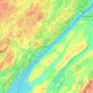
Name: Brockville topographic map, elevation, terrain.
Location: Brockville, Eastern Ontario, Ontario, K6V 3P9, Canada (44.42959 -75.84433 44.74959 -75.52433)
Average elevation: 338 ft
Minimum elevation: 236 ft
Maximum elevation: 522 ft
Other topographic maps
Click on a map to view its topography, its elevation and its terrain.