
Gleason topographic map
Interactive map
Click on the map to display elevation.
About this map
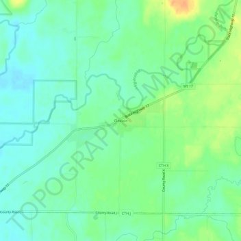
Name: Gleason topographic map, elevation, terrain.
Average elevation: 1,460 ft
Minimum elevation: 1,417 ft
Maximum elevation: 1,535 ft
Lincoln County trails, hiking, mountain biking, running and outdoor activities
Other topographic maps
Click on a map to view its topography, its elevation and its terrain.
Council Grounds State Park
United States > Wisconsin > Lincoln County > Merrill
Average elevation: 1,289 ft