
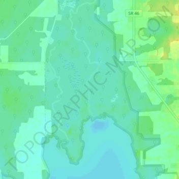
Mosquito Lake Creek topographic map
Interactive map
Click on the map to display elevation.
About this map
Name: Mosquito Lake Creek topographic map, elevation, terrain.
Average elevation: 915 ft
Minimum elevation: 892 ft
Maximum elevation: 955 ft
Other topographic maps
Click on a map to view its topography, its elevation and its terrain.
Alum Creek
United States of America > Ohio
Near 40°10′36″N 082°57′24″W / 40.17667°N 82.95667°W / 40.17667; -82.95667 (Alum Creek Lake) Elevation: 833 feet (254 m)
Average elevation: 994 ft
Pleasant Heights
United States of America > Ohio > East Liverpool > Pleasant Heights
Average elevation: 984 ft
Reynolds Corners
United States of America > Ohio > Toledo > Reynolds Corners
Average elevation: 630 ft
Johnston Corners
United States of America > Ohio > Toledo > Johnston Corners
Average elevation: 627 ft
Perkins Corners
United States of America > Ohio > Youngstown > Perkins Corners
Average elevation: 1,037 ft