
Gorman topographic map
Interactive map
Click on the map to display elevation.
About this map
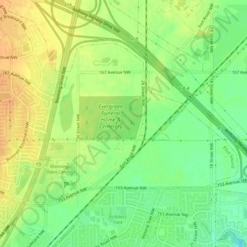
Name: Gorman topographic map, elevation, terrain.
Location: Gorman, Pilot Sound, Edmonton, Alberta, Canada (53.61414 -113.40354 53.63240 -113.36452)
Average elevation: 2,156 ft
Minimum elevation: 2,093 ft
Maximum elevation: 2,205 ft
Other topographic maps
Click on a map to view its topography, its elevation and its terrain.