
Pateros topographic map
Interactive map
Click on the map to display elevation.
About this map
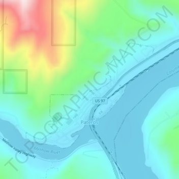
Name: Pateros topographic map, elevation, terrain.
Location: Pateros, Okanogan County, Washington, United States (48.04704 -119.91772 48.06481 -119.87839)
Average elevation: 1,096 ft
Minimum elevation: 764 ft
Maximum elevation: 2,218 ft
Okanogan County trails, hiking, mountain biking, running and outdoor activities
Other topographic maps
Click on a map to view its topography, its elevation and its terrain.