
Benton City topographic map
Interactive map
Click on the map to display elevation.
About this map
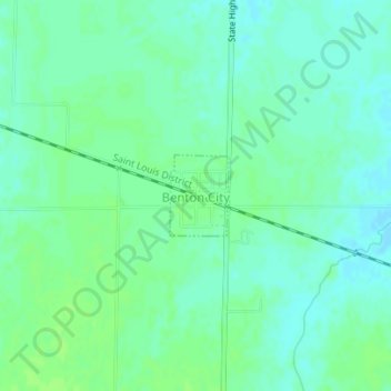
Name: Benton City topographic map, elevation, terrain.
Location: Benton City, Audrain County, Missouri, United States (39.13178 -91.76749 39.13740 -91.76222)
Average elevation: 820 ft
Minimum elevation: 804 ft
Maximum elevation: 833 ft
Audrain County trails, hiking, mountain biking, running and outdoor activities
Other topographic maps
Click on a map to view its topography, its elevation and its terrain.