
Petite-Rivière-Saint-François topographic map
Interactive map
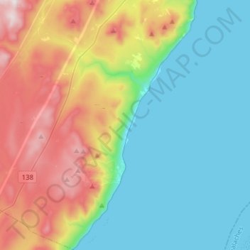
Click on the map to display elevation.
About this map
Name: Petite-Rivière-Saint-François topographic map, elevation, terrain.
Average elevation: 955 ft
Minimum elevation: 0 ft
Maximum elevation: 3,091 ft
Other topographic maps
Click on a map to view its topography, its elevation and its terrain.