
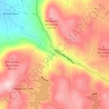
Connestee Falls topographic map
Interactive map
Click on the map to display elevation.
About this map
Name: Connestee Falls topographic map, elevation, terrain.
Average elevation: 2,769 ft
Minimum elevation: 2,136 ft
Maximum elevation: 3,123 ft
Other topographic maps
Click on a map to view its topography, its elevation and its terrain.
Elizabeth City
United States of America > North Carolina > Elizabeth City
According to the United States Census Bureau, Elizabeth City has a total area of 12.2 square miles (31.7 km2), of which 11.6 square miles (30.1 km2) is land and 0.62 square miles (1.6 km2), or 5.09%, is water. Located in the "Inner Banks" region of North Carolina, Elizabeth City is largely flat and marshy with…
Average elevation: 13 ft