
Kemp topographic map
Interactive map
Click on the map to display elevation.
About this map
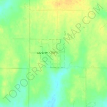
Name: Kemp topographic map, elevation, terrain.
Location: Kemp, Bryan County, Oklahoma, 74747, United States (33.76570 -96.35849 33.77301 -96.35062)
Average elevation: 627 ft
Minimum elevation: 577 ft
Maximum elevation: 669 ft
Other topographic maps
Click on a map to view its topography, its elevation and its terrain.
Mead
United States > Oklahoma > Bryan County
Mead, Bryan County, Oklahoma, United States
Average elevation: 735 ft
Durant
United States > Oklahoma > Bryan County
Durant, Bryan County, Oklahoma, 74701, United States
Average elevation: 669 ft