
Milton topographic map
Interactive map
Click on the map to display elevation.
About this map
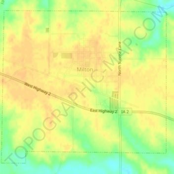
Name: Milton topographic map, elevation, terrain.
Location: Milton, Van Buren County, Iowa, United States (40.65907 -92.17880 40.68277 -92.14504)
Average elevation: 784 ft
Minimum elevation: 715 ft
Maximum elevation: 814 ft
Van Buren County trails, hiking, mountain biking, running and outdoor activities
Other topographic maps
Click on a map to view its topography, its elevation and its terrain.