
Glenwood topographic map
Interactive map
Click on the map to display elevation.
About this map
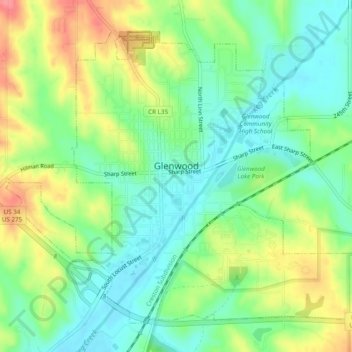
Name: Glenwood topographic map, elevation, terrain.
Location: Glenwood, Mills County, Iowa, United States (41.03064 -95.76593 41.06098 -95.71762)
Average elevation: 1,073 ft
Minimum elevation: 968 ft
Maximum elevation: 1,243 ft
Mills County trails, hiking, mountain biking, running and outdoor activities
Other topographic maps
Click on a map to view its topography, its elevation and its terrain.
Silver City
United States > Iowa > Mills County > Silver City > Silver City
Average elevation: 1,115 ft