
Lakewood topographic map
Interactive map
Click on the map to display elevation.
About this map
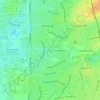
Name: Lakewood topographic map, elevation, terrain.
Location: Lakewood, Mill Woods, Edmonton, Alberta, Canada (53.45182 -113.46663 53.46541 -113.43422)
Average elevation: 2,260 ft
Minimum elevation: 2,218 ft
Maximum elevation: 2,316 ft