
Sapphire topographic map
Interactive map
Click on the map to display elevation.
About this map
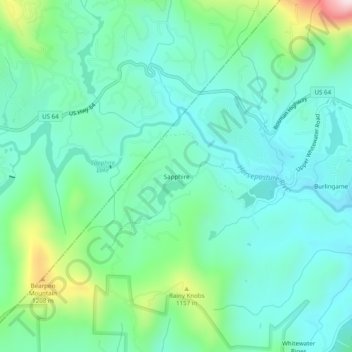
Name: Sapphire topographic map, elevation, terrain.
Average elevation: 3,271 ft
Minimum elevation: 2,897 ft
Maximum elevation: 4,498 ft
Transylvania County trails, hiking, mountain biking, running and outdoor activities
Other topographic maps
Click on a map to view its topography, its elevation and its terrain.
Dupont State Recreational Forest
United States > North Carolina > Transylvania County
Average elevation: 2,710 ft