
Weed topographic map
Interactive map
Click on the map to display elevation.
About this map
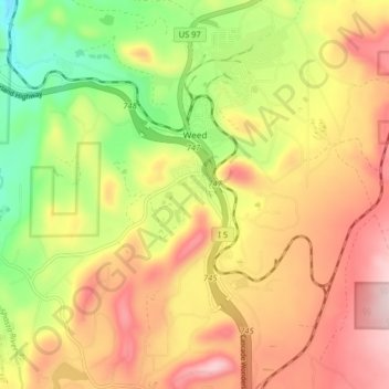
Name: Weed topographic map, elevation, terrain.
Average elevation: 3,661 ft
Minimum elevation: 3,064 ft
Maximum elevation: 4,203 ft
Siskiyou County trails, hiking, mountain biking, running and outdoor activities
Other topographic maps
Click on a map to view its topography, its elevation and its terrain.
Klamath River
United States > California > Siskiyou County > Klamath River
Average elevation: 2,464 ft