
Deer Island topographic map
Interactive map
Click on the map to display elevation.
About this map
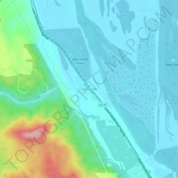
Name: Deer Island topographic map, elevation, terrain.
Location: Deer Island, Columbia County, Oregon, United States (45.91213 -122.86490 45.95213 -122.82490)
Average elevation: 151 ft
Minimum elevation: -3 ft
Maximum elevation: 791 ft
Columbia County trails, hiking, mountain biking, running and outdoor activities
Other topographic maps
Click on a map to view its topography, its elevation and its terrain.