
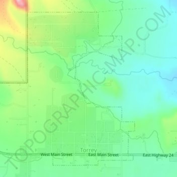
Torrey topographic map
Interactive map
Click on the map to display elevation.
About this map
Name: Torrey topographic map, elevation, terrain.
Location: Torrey, Wayne County, Utah, United States (38.29738 -111.44147 38.32075 -111.41150)
Average elevation: 6,857 ft
Minimum elevation: 6,667 ft
Maximum elevation: 7,280 ft
Wayne County trails, hiking, mountain biking, running and outdoor activities
Other topographic maps
Click on a map to view its topography, its elevation and its terrain.