
Maquoketa topographic map
Interactive map
Click on the map to display elevation.
About this map
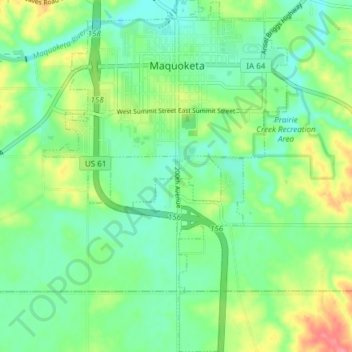
Name: Maquoketa topographic map, elevation, terrain.
Location: Maquoketa, Jackson County, Iowa, United States (42.02345 -90.69409 42.07948 -90.64189)
Average elevation: 719 ft
Minimum elevation: 640 ft
Maximum elevation: 879 ft
Jackson County trails, hiking, mountain biking, running and outdoor activities
Other topographic maps
Click on a map to view its topography, its elevation and its terrain.
Springbrook
United States > Iowa > Jackson County > Springbrook > Springbrook
Average elevation: 807 ft