
Knoxville topographic map
Interactive map
Click on the map to display elevation.
About this map
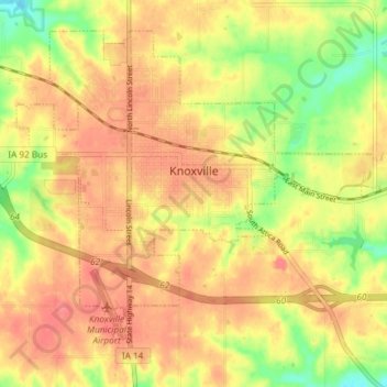
Name: Knoxville topographic map, elevation, terrain.
Location: Knoxville, Marion County, Iowa, United States (41.29178 -93.13108 41.33852 -93.05724)
Average elevation: 869 ft
Minimum elevation: 741 ft
Maximum elevation: 945 ft
Marion County trails, hiking, mountain biking, running and outdoor activities
Other topographic maps
Click on a map to view its topography, its elevation and its terrain.