
Jones Creek topographic map
Interactive map
Click on the map to display elevation.
About this map
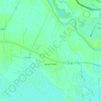
Name: Jones Creek topographic map, elevation, terrain.
Location: Jones Creek, Brazoria County, Texas, United States (28.95534 -95.51314 29.00199 -95.42547)
Average elevation: 13 ft
Minimum elevation: -3 ft
Maximum elevation: 30 ft
Brazoria County trails, hiking, mountain biking, running and outdoor activities
Other topographic maps
Click on a map to view its topography, its elevation and its terrain.