
Herat topographic map
Interactive map
Click on the map to display elevation.
About this map
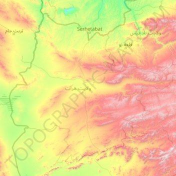
Name: Herat topographic map, elevation, terrain.
Location: Herat, Afghanistan (32.84981 60.51760 35.62968 64.47589)
Average elevation: 4,245 ft
Minimum elevation: 1,033 ft
Maximum elevation: 12,972 ft
Other topographic maps
Click on a map to view its topography, its elevation and its terrain.
Silsilah-ye Safēd Kōh
Silsilah-ye Safēd Kōh, Chishti Sharif, Herat, Afghanistan
Average elevation: 9,803 ft