
Port Charlotte topographic map
Interactive map
Click on the map to display elevation.
Port Charlotte
Port Charlotte is characterized by a predominantly flat and low-lying terrain, typical of Florida’s coastal landscape. The area features a network of waterways, including the Peace River and Charlotte Harbor, which provide ample opportunities for recreational activities like boating and fishing. Elevations are generally modest, with the highest points rarely exceeding 30 feet above sea level. The region is dotted with numerous canals, many of which are navigable, enhancing the community's waterfront appeal. The surrounding environment includes patches of subtropical vegetation and wetlands, contributing to the area's biodiversity and scenic beauty. Overall, Port Charlotte's topography, with its gentle contours and extensive water features, creates a picturesque setting that reflects the charm of Florida's Gulf Coast.
About this map
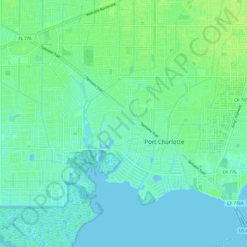
Name: Port Charlotte topographic map, elevation, terrain.
Location: Port Charlotte, Charlotte County, Florida, United States (26.94693 -82.15629 27.01802 -82.05760)
Average elevation: 13 ft
Minimum elevation: -7 ft
Maximum elevation: 33 ft
Charlotte County trails, hiking, mountain biking, running and outdoor activities