
Goodman topographic map
Interactive map
Click on the map to display elevation.
About this map
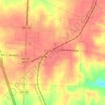
Name: Goodman topographic map, elevation, terrain.
Location: Goodman, McDonald County, Missouri, United States (36.72921 -94.42348 36.74837 -94.39704)
Average elevation: 1,220 ft
Minimum elevation: 1,063 ft
Maximum elevation: 1,266 ft
McDonald County trails, hiking, mountain biking, running and outdoor activities
Other topographic maps
Click on a map to view its topography, its elevation and its terrain.