
Cumming topographic map
Interactive map
Click on the map to display elevation.
About this map
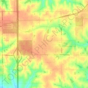
Name: Cumming topographic map, elevation, terrain.
Location: Cumming, Warren County, Iowa, United States (41.47587 -93.79063 41.50136 -93.73133)
Average elevation: 951 ft
Minimum elevation: 846 ft
Maximum elevation: 1,004 ft
Warren County trails, hiking, mountain biking, running and outdoor activities
Other topographic maps
Click on a map to view its topography, its elevation and its terrain.