
Fall River topographic map
Interactive map
Click on the map to display elevation.
About this map
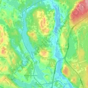
Name: Fall River topographic map, elevation, terrain.
Location: Fall River, Nova Scotia, Canada (44.78279 -63.65456 44.85636 -63.53951)
Average elevation: 200 ft
Minimum elevation: 46 ft
Maximum elevation: 505 ft