
Pilot Mound topographic map
Interactive map
Click on the map to display elevation.
About this map
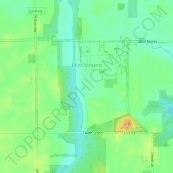
Name: Pilot Mound topographic map, elevation, terrain.
Location: Pilot Mound, Boone County, Iowa, United States (42.15204 -94.02803 42.16657 -94.00850)
Average elevation: 1,115 ft
Minimum elevation: 1,073 ft
Maximum elevation: 1,175 ft
Boone County trails, hiking, mountain biking, running and outdoor activities
Other topographic maps
Click on a map to view its topography, its elevation and its terrain.