
St. Anns topographic map
Interactive map
Click on the map to display elevation.
About this map
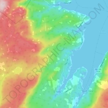
Name: St. Anns topographic map, elevation, terrain.
Location: St. Anns, Victoria, Nova Scotia, Canada (46.20035 -60.67454 46.26421 -60.57295)
Average elevation: 364 ft
Minimum elevation: -3 ft
Maximum elevation: 1,125 ft