
Hessmer topographic map
Interactive map
Click on the map to display elevation.
About this map
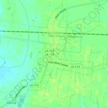
Name: Hessmer topographic map, elevation, terrain.
Location: Hessmer, Avoyelles Parish, Louisiana, 71347, United States (31.04202 -92.13408 31.06669 -92.10989)
Average elevation: 75 ft
Minimum elevation: 49 ft
Maximum elevation: 89 ft
Avoyelles Parish trails, hiking, mountain biking, running and outdoor activities
Other topographic maps
Click on a map to view its topography, its elevation and its terrain.