
Fayetteville topographic map
Interactive map
Click on the map to display elevation.
About this map
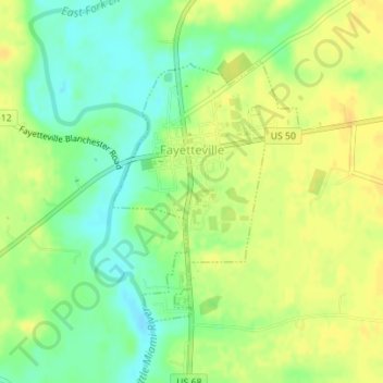
Name: Fayetteville topographic map, elevation, terrain.
Location: Fayetteville, Brown County, Ohio, United States (39.17458 -83.93937 39.19297 -83.92235)
Average elevation: 938 ft
Minimum elevation: 889 ft
Maximum elevation: 971 ft
Brown County trails, hiking, mountain biking, running and outdoor activities
Other topographic maps
Click on a map to view its topography, its elevation and its terrain.