
Hixon topographic map
Interactive map
Click on the map to display elevation.
About this map
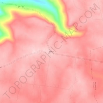
Name: Hixon topographic map, elevation, terrain.
Location: Hixon, Grundy County, Tennessee, United States (35.42646 -85.82942 35.46646 -85.78942)
Average elevation: 1,916 ft
Minimum elevation: 1,260 ft
Maximum elevation: 2,064 ft
Grundy County trails, hiking, mountain biking, running and outdoor activities
Other topographic maps
Click on a map to view its topography, its elevation and its terrain.
South Cumberland Recreation Area
United States > Tennessee > Grundy County > Beersheba Springs
Average elevation: 1,749 ft