
Walton topographic map
Interactive map
Click on the map to display elevation.
About this map
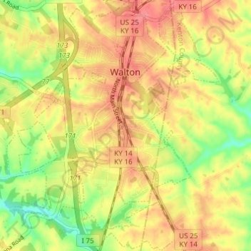
Name: Walton topographic map, elevation, terrain.
Location: Walton, Boone County, Kentucky, United States (38.84177 -84.64058 38.88927 -84.58744)
Average elevation: 866 ft
Minimum elevation: 738 ft
Maximum elevation: 958 ft
Boone County trails, hiking, mountain biking, running and outdoor activities
Other topographic maps
Click on a map to view its topography, its elevation and its terrain.