
Alliance topographic map
Interactive map
Click on the map to display elevation.
About this map
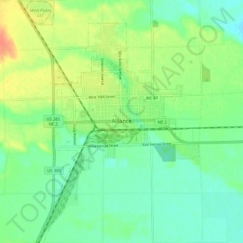
Name: Alliance topographic map, elevation, terrain.
Location: Alliance, Box Butte County, Nebraska, 69301, United States (42.06051 -102.91176 42.13345 -102.83928)
Average elevation: 3,963 ft
Minimum elevation: 3,911 ft
Maximum elevation: 4,052 ft
Box Butte County trails, hiking, mountain biking, running and outdoor activities